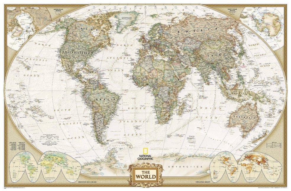
National Geographic Map World Executive, enlarged, laminated, Planokarte
Political Map

Beschreibung
The most up-to-date executive world map from the cartographers at National Geographic, in an enlarged size. This map features the Winkel Tripel projection to reduce distortion of land masses as they near the poles. Features an antique-style colour palette for a more upscale look. Separate insets show the North and South Polar Regions, world vegetation and land use, and world population density. Scale 1:22,445,000. Laminated. 185 x 122 cm.
Produktdetails
| ISBN/GTIN | 978-0-7922-8327-0 |
|---|---|
| Erscheinungsjahr | 2014 |
| Seitenzahl | 1 S. |
| Format | 5 x 5 x 125 cm |
| Gewicht | 0,615 kg |

