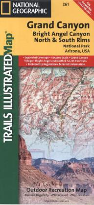
National Geographic Trails Illustrated Map Grand Canyon, Bright Angel Canyon, North & South Rims, National Park Arizona, USA
Outdoor Recreation Map

Beschreibung
A well-balanced mix of detailed cartography and handy resource information, coverage highlights for this Grand Canyon: Bright Angel Canyon/North and South Rims Trail Map include: Colorado River miles 60-98, North and South Rim visitor centers, Grand Canyon Village, Grand Canyon / National Geographic IMAX, Tusayan, Grand Canyon Railroad Station, Bright Angel Trail (plus elevation profile), West Rim Trail, Kaibab Trail, Arizona Trail, Grand Canyon Lodge, and more. A necessity for exploring in the outdoors, this map is printed on waterproof, tear-resistant material.
Produktdetails
| ISBN/GTIN | 978-1-56695-495-2 |
|---|---|
| Erscheinungsjahr | 2013 |
| Seitenzahl | 1 S. |
| Format | 10,6 x 23,6 x 0,5 cm |
| Gewicht | 0,094 kg |

