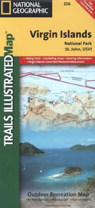
National Geographic Trails Illustrated Map Virgin Islands National Park, St. John, USVI
Outdoor Recreation Map

Beschreibung
Trails Illustrated topographic maps are the most detailed and up-to-date recreation maps available for these national parks, national forests and popular outdoor recreation areas. This map includes: the island of St. John; the entire Virgin Islands National Park; Virgin Islands Coral Reef National Monument; Mount Sage National Park; Tortola Island; Great Thatch Island; Little Thatch Island; Frenchmans Cay; Lovango Cay; Congo Cay; Mingo Cay; Dog Island; Hawksnest Bay; Durloe Cays; Durloe Channel; Cinnamon Bay; Trunk Bay; Mary Point; Francis Bay; and UTM grids for GPS.
Produktdetails
| ISBN/GTIN | 978-1-56695-346-7 |
|---|---|
| Erscheinungsjahr | 2013 |
| Seitenzahl | 1 S. |
| Format | 10,9 x 23,5 x 0,5 cm |
| Gewicht | 0,094 kg |

