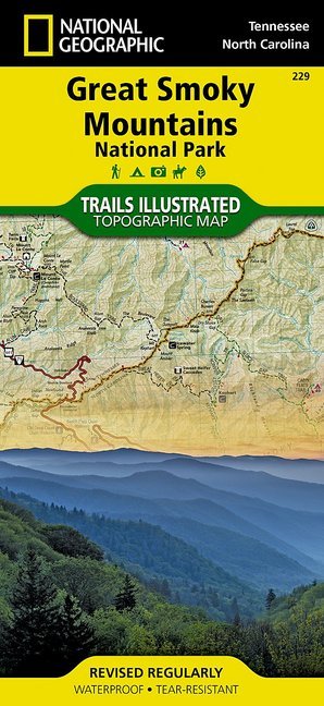
National Geographic Trails Illustrated Map Great Smoky Mountains National Park, Tennessee / North Carolina, USA
Outdoor Recreation Map. Appalachian Trail, Benton MacKaye Trail, Mountains-to-Sea Trail, Backcountry Campsites, Stream Crossing Charts, Trail Mileages

Beschreibung
America's most visited national park straddles Tennessee and North Carolina with its seemingly endless forest. The map includes the park in its entirety; the Appalachian Trail; Twentymile Trail; Lakeshore Trail; Chasteen Creek Trail; the Great Smoky Mountains; Chilowee Mountain; Little Mountain; the Blue Ridge Parkway; Cataloochee Divide; Cherokee National Forest; Nantahala National Forest; Little Tennessee River; Chilhowee Lake; Fontana Lake; the cities of Maryville and Gatlinburg Tennessee, and Waynesville, North Carolina; and more. UTM grids for use with GPS.
Produktdetails
| ISBN/GTIN | 978-1-56695-301-6 |
|---|---|
| Erscheinungsjahr | 2013 |
| Seitenzahl | 1 S. |
| Format | 10,7 x 22,9 x 0,5 cm |
| Gewicht | 0,096 kg |

