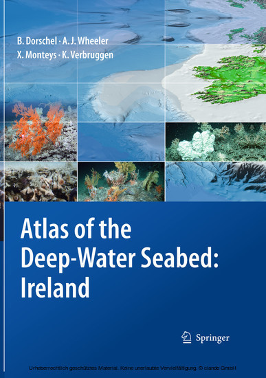
Atlas of the Deep-Water Seabed
Ireland

Beschreibung
Presented in an accessible, user-friendly format, this atlas sets out all the major features revealed during one of the largest ever deep-sea mapping campaigns. A unique insight into the morphology of the seabed along the continental margin of the North-East Atlantic, it reveals for the first time many features that have hitherto been hidden beneath the waves. It is organised both thematically and by region, with the sea floor and its biological hotspots areas of high biodiversity such as seamounts shown at a resolution not possible before. The atlas presents everything from submarine canyons to coral carbonate mounds, using digital terrain models generated from multibeam data and photographs taken from unmanned deep-water vehicles (ROVs).
Produktdetails
| ISBN/GTIN | 978-90-481-9376-9 |
|---|---|
| Seitenzahl | 164 S. |
| Kopierschutz | mit Wasserzeichen |
| Dateigröße | 45703 Kbytes |

